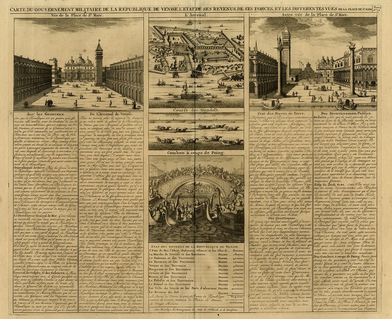
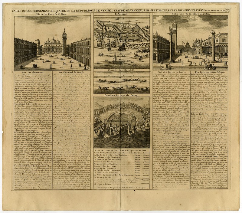
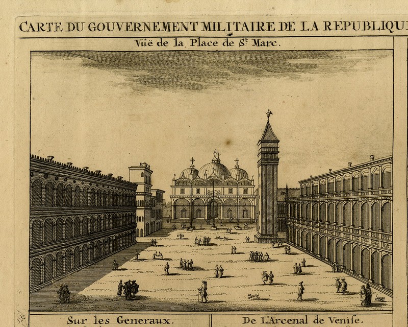

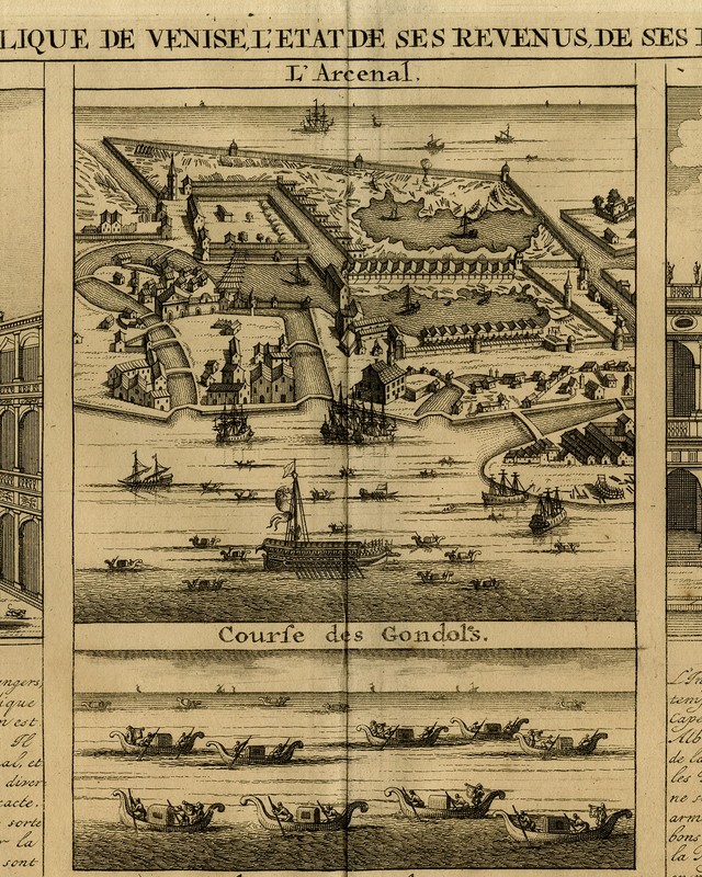


Antique Print-FAMOUS PLACES IN VENICE-GONDOLA-SAINT MARCO PLACE-Chatelain-1732
Description: This print/map originates from: "Atlas Historique..." (Historic Atlas...), Published by Zacharie Chatelain, Amsterdam, 1732. Published in seven volumes between 1705 and 1720. This 2nd edition (Tome II) has been published in 1732. The maps were accompanied by information on cosmography, geography, history, genealogy, heraldry, and costumes of the world. The maps in the Atlas Historique were mainly based on those of the French cartographer, Guillaume De L'Isle, but were presented by Chatelain in an encyclopaedic form. Artists and Engravers: Made by an anonymous engraver after 'Henri Abraham Chatelain'. Henri Abraham Chatelain (1684-1743), his father Zacharie Chatelain (d.
Specifications
| Materials Sourced From | Europe |
| Country Of Origin | Europe |
| Subject | Social History |
| Size | Large |
| Features | Unframed |
| Width (Centimeters) | 51.2 cm |
| Height (Centimeters) | 44.9 cm |
| Type | Antique Print |
| Artist | Anonymous |
| Style | Realism |
| Culture | European |
| Material | Paper |
| Original/Licensed Reprint | Original |
| Production Technique | Engraving |
| Region Of Origin | Europe |
| Theme | Social History |
| Year Of Production | 1732 |
| Framing | Unframed |
| Image Orientation | Landscape |
| Unit Of Sale | Single Piece |
| Medium | Engraving |
| Color | Black & White |
| Time Period Produced | 1700-1749 |
| Item Height | 17.7 in |
| Item Width | 20.2 in |
You will notice the large size doesn’t overwhelm a small room.